Showing posts with label summer hiking. Show all posts

Thursday, August 15, 2013

Halfway to heaven on Mt Watzmann

The last day with my Transalpine partner, Gine, arrived and what better way to finish a perfect week than with another mountain crossing! 

Mt Watzmann is Germany's 3rd highest at 2713m, and has 3 peaks along a precariously narrow ridge which you cross with the assistance of ropes in some sections. 

We started at Wimbachbruecke (in the town of Rasmsau), heading up to the Watzmannhaus hut via a fairly well established walking track. From the hut things got steep, and we freestyled up rocky slopes to the first peak. 

Gine getting good use out of her poles heading up to the hut:

Watzmannhaus hut in the clouds:


Starting our last 800m of climbing up the steep rocky slope to the summit:


Relaxing on the highest peak of Watzmann:

From the highest peak we crossed the ridge to Middle Peak, and lastly to South Peak. The clouds helped to hide the steep drop on either side! Amazing amazing feeling up there!


The cross marking South Peak:


Finally a steep descent into a valley waited for us as we came down the other side of the mountain. The rocky scree slope made for lots of sliding until we hit a glacier moraine that we followed back to the car. 

Running down the rocky scree slope:


Wednesday, April 25, 2012

Dawn from the Traveler's Range, Tasmania

With winter making it's presence known in the Tasmanian mountains, the days getting colder and light more precious, my last day as a guide on the Overland Track arrived. The decision had been made the night before to climb up to the top of the Traveler's Range, a ridge of mountains presiding over deep valleys and unexplored wilderness. We woke at 4am, and glancing out the window for a weather forecast, I glimpsed open sky and a shooting star. Perfect conditions for a dawn hike up to the summit. 

We followed the track back up to Ducane Gap, our headtorches illuminating ancient rainforest. In the saddle between the Traveler's Range and the Ducane Range we found the barely-used trail that would lead us up. On the summit the wind was fierce, the cold as crisp as the light starting to emerge on the horizon. We nestled in amongst the large dolerite boulders and waited for the sun. 


L-R: The Acropolis and Mt Geryon:


Thanks to Ross Bird for the beautiful photography.

Thursday, December 1, 2011

An afternoon on Mt Oakleigh's summit

After a month of working on the Overland Track I finally got my chance. I had a fit group of guests with adventure in their hearts, and clear skies with no threat of mist, rain or snow.

Across a golden expanse of button grass we could see the spires of Mt Oakleigh, our destination. Although not the tallest mountain in Tasmania, the views from the edge are spectacular. The world drops away into the Forth Valley, and all around are the slumbering giant shapes of familiar mountain peaks - Mt Pelion West, Mt Achilles, Mt Ossa and Mt Pelion East. The achievement of reaching the summit is also felt in every aching muscle that had to battle the crotch-deep mud puddles and steep climb through ancient rain forest. 

Climbing the last few steps to the edge of the mountain, peering over the edge and looking at the spires reaching out from the valley, I had only one thought: "wow, wow, wow."


Mt Pelion West, Mt Achilles and Mt Thetes (right to left):


View across Pelion plains towards Mt Ossa:

Sitting on the edge of the world:


The mountain glowing in the late afternoon light:

Our "trail" - a swampy gash through the button grass plains:


Stuck in the mud:


Mt Oakleigh is a day trip from Pelion Hut, located half way on the Overland Track. It is an 8km return trip, and takes an average walker about 5 hours. Consideration should be given to how much rain the track has received, as this can exacerbate the mud on the track.

Friday, November 11, 2011

The top of the world (Mount Ossa Summit)

The day started with an hour trail run on the Overland Track (my office for the next 6 months), returning to see this sunrise (below).

One of the huts we stay in, glowing in the morning sun:


The plan for the rest of the day was to tackle the summit of Mount Ossa (1617m), the tallest peak in Tasmania (the world?), a jagged collection of dolerite collumns that resemble gnarly, ancient fingers reaching into the sky. I would be hiking up with 2 guests and a 20kg pack on my back - nice way to build up some leg strength and confound other hikers..."you know you can leave your pack at the bottom" weathered bushmen would tell me, shaking their heads at my unpracticality. "I'm carrying safety gear" I tell them.
The views from the top on a clear day are superb - 1/3 of the state lies before you, pure wilderness with nothing man-made in sight.


The view from the false summit towards Mount Pelion East:


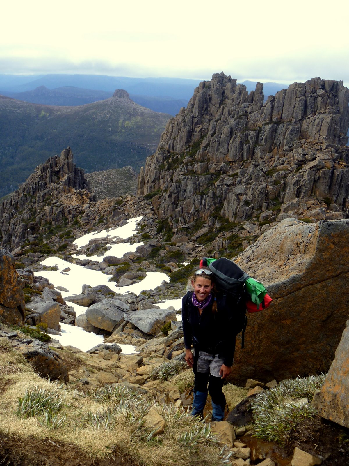
Climbing mountains is fun, but hard work!


Looking down the Mount Ossa trail towards Mount Pelion East (affectionately called "The Nipple") and beyond:


Taking a break on the summit of Mount Ossa:

Looking south (across Pine Stone Valley) towards the Ducane Range:

As we arrive back in the valley the weather sets in and grey, ominous clouds gather around Mount Ossa's summit. A perfect finish to a day spent in the clouds on top of the world.
Posted by Picasa

Thursday, October 6, 2011

Sunrise on Barn Bluff (Cradle Mt National Park, TAS)

A 4am wake up, a freezing cold morning, a bright headlamp, a pristine wilderness awaiting.

Pre-dawn in the Cradle Mountain National Park may as well be pre-historic. It is a time when you forget where you came from and become completely immersed in the moment. Nothing exists outside of the timewarp created by the perfect roundness of the headlamp.
I am hiking with a group of crazy Tasmanians, and we are freestyling through the bush in an attempt to take the most direct route and to beat the sun to the summit. In the darkness, our hike to the base of Barn Bluff is instinctual and sensory. We skirt around the spikes of the Scoparia bushes that claw at my lower legs and arms and maneuver over, under and around the fallen branches of the ghostly Snow Gums.
When we reach the base of Barn Bluff we hike counter clockwise over strewn boulders, broken off from the mountain due to the lethal forces of water and freezing temperatures. The path leading up the side of the mountain is marked by cairns (piles of stones). It is relatively non-technical and requires only the occasional use of both hands to assist in scrambling between the rocks. The higher we climb, the louder the crunch of frost, ice and snow becomes underfoot.
We arrive on the summit (1559 m) with 15 minutes to spare. The crescent moon is glowing, lit from beneath by the approaching sun. Trail mix (called scroggin by the locals), muesli bars and chocolate is passed around. I am wearing a down jacket and my hands are tucked in my armpits, trying to stave off the approaching pain of frozen digits.
Then the sun rises.

Lake Will:

The solitary peak of Cradle Mountain:

Sunrise touching the frosted summit of Barn Bluff:

A hurried descent to warmer grounds below, Cradle Mt in the distance:

The dolerite columns of Barn Bluff facing into the sun:


A forest of Eucalypts:


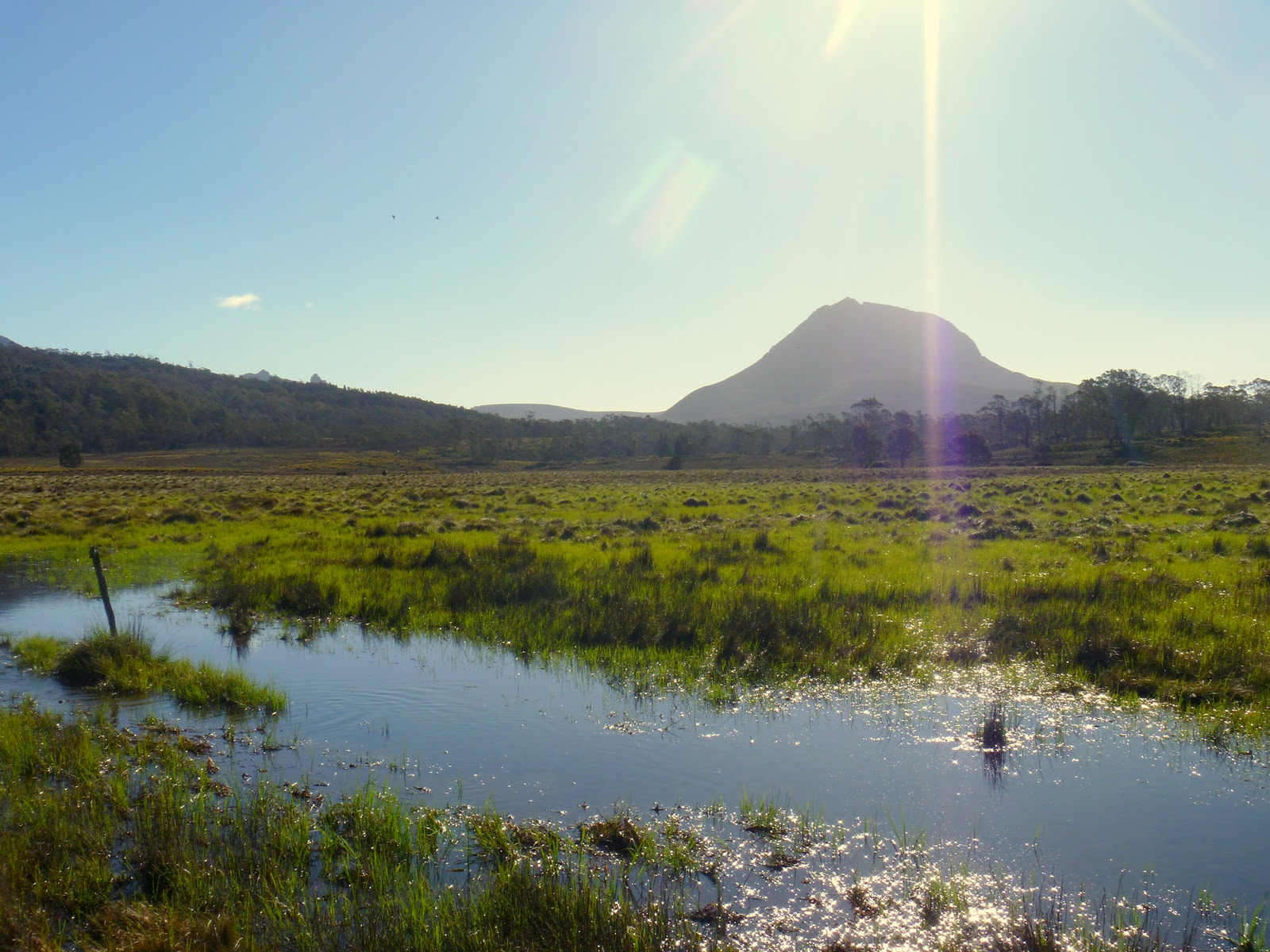
Barn Bluff as seen from the Overland Track:
The summit of Barn Bluff would make for a wonderful out and back trail run with all personality of an epic course: lovely single track trail, occasional well-developed board walks, technical sections to test footing and agility, some alp-like ascending and descending and of course a mountain summit! For more information see the Tasmanian Parks and Wildlife Service here.