Showing posts with label Squamish. Show all posts

Tuesday, August 16, 2011

Summer hike to Elfin Lakes

Late summer in the Garibaldi National Park (East of Squamish, BC), and yet a hike to the Elfin Lakes took me deep in the mountains and amidst a paradise of snow!

A glimpse of the Howe Sound from Garibaldi FSR:


One of the Elfin Lakes, partially defrosted, with the Elfin hut behind and a cloud-obscured Diamond Head on the right:


In front of one of the Elfin Lakes, the hut behind me:

Time for some deserved relaxation:

Hiking up to the Gargoyles, north of Elfin Lakes:

Looking East from the summit of the Gargoyles:
Diamond Head:


The summit of the Gargoyles:

A deep mountain sunset from Elfin hut:
The temperamental nature of mountain weather - the Elfin hut barely visible under cloud cover:

Sunday, May 29, 2011

Cloudburst Mountain Spring Summit Attempt

Spring in BC, Canada. Slightly warmer weather (think 5 degrees celcius), longer days, and the perfect opportunity to revisit Cloudburst Mountain and it's summit, previously unattainable in mid-winter.

Our "team" consisted of Jan, a Czech about to get kicked out of the country with a burning desire to see the fabled 360 degree view from the top; Werner, an Aussie that is always up for crazy adventures, and myself! Our day started in Paradise Valley, early in the morning to maximise the daylight we would have to climb 1871m,with snowshoes, through spring snow, up steep ridges, to the highest point of the mountain.

In the Valley the weather was not looking so great. I may have been a slightly "fair-weather" adventurer, urging the boys to wait for a better day, but at Jan's insistence, we started the steep climb up the FSR again.


The snow line was noticeably higher than in the winter, and the snow quality was also wetter. We were thankful for the cooler conditions that day, as a sunny day might have increased the difficulty of snowshoeing up the steep sides of the mountain onto the ridge.


Every now and then, the clouds would be torn apart and suddenly we would have the most magnificent view down into Paradise valley and at the Tantalus mountain range.


A view of the ridge we would have to follow to the actual summit of Cloudburst (on the far right of the picture).


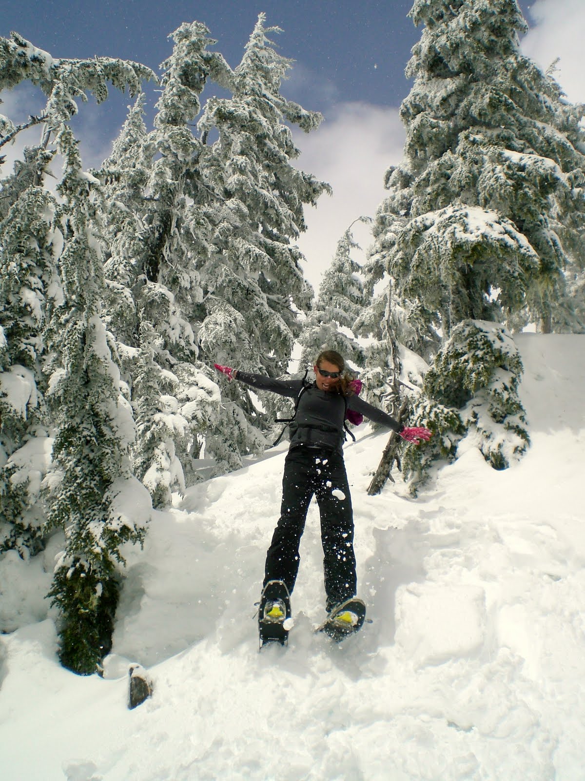
Freestyle snowshoeing in action:


Once on the ridge and in the alpine, the undualting ridge as seen from sea level became a series of domed, icy peak that became increasingly challenging (and at times scary) to climb with the snowshoes.


Myself approaching one of the icy peaks we would have to climb, freestyle, and with no ropes, safety gear, crampons or ice picks. The weather was also closing in as we got higher, decreasing our visibility of where the ridge ended. Not good!


At 1769m, 2 peaks away from the true summit, 11km into our adventure, we took this photo and called it quits. In Jan's words: "It's the professionals who know when to turn around and and go back." Maybe, but to go any further would have been risky: we could see nothing, and the last two climbs would be even more challenging and would present difficulties when the time would come to descend. Sometimes, turning around is a better option.


Finally! Time to eat! Recommended: wraps (kept separate while hiking) with tuna, mayonnaise, dill, tomato, mix (kept in zip-lock bag).


The reward at the end of another amazing adventure: a perfect view and some sun on the skin!


Friday, April 1, 2011

Spring Trail Running in Squamish

My friend Mike and I met while running the Nike ACG Kepler Challenge, a 60km trail run on the Kepler Track. We ran together for sections of this epic race until Mike boosted his pace in the final 20km to bring home a solid effort. I suffered the last 10km, battling all instincts to stop and beg for someone to carry me to the finish. When I heard Mike was heading to Whistler I knew that some running was in order. After all, what better way to enjoy a visit from a kiwi friend, than to hit the trails of Squamish and "enjoy" the joys and challenges of running in the last of the Spring snow cover.

Mike taking in the views of the Tantalus Range from the Valleycliff trails:

The Far Side Trail:


Running in the shadow of the Stawamus Chief:

Monday, January 3, 2011

Freestyle Snowshoeing to Cloudburst Mountain

After a solid 2 weeks of grey, drizzling weather, the bright blue skies called for a spectacular adventure outdoors. We decided on spectacular views, snow and 4.5 hours of uphill climbing in snowshoes to celebrate the sun (and some much needed Vitamin D). Our destination: Cloudburst Mountain, a single bald dome rising at the end of Squamish Valley, its summit giving 360 degree views of the Sea to Sky corridor - basically, snow-capped mountains as far as the eye can see. Not too bad right!?

As we would be freestyling most of the way, we mapped our route to carry with us on a Garmin Forerunner watch, ensuring that we would reach the ridge that we could then walk on to the summit, thus avoiding any potential avalanche areas.

Our route below (as mapped using Google Earth):


Squamish Valley :


Hiking up a Forest Service Road (FSR) to 1000m:


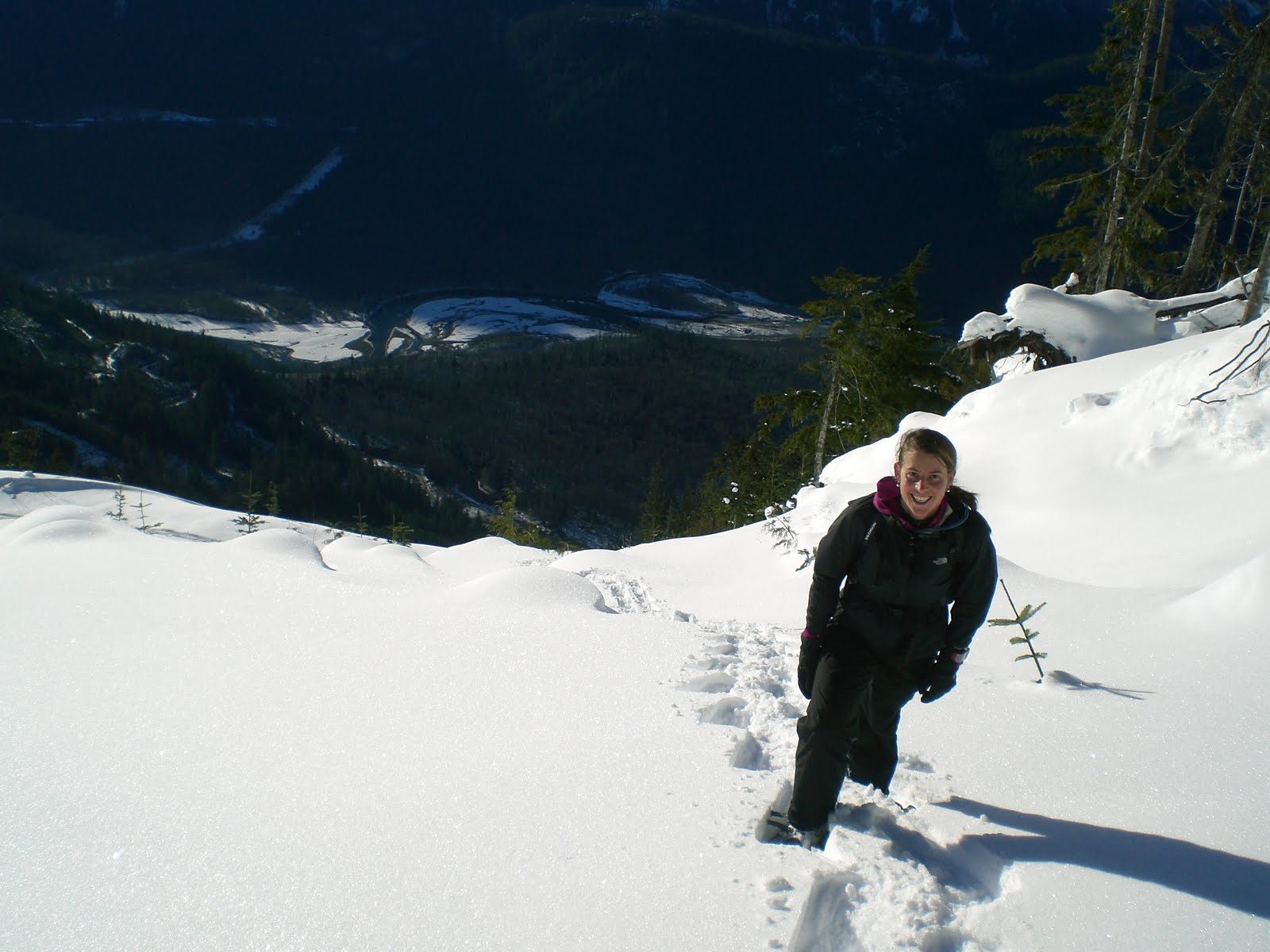
Starting the Freestyle climbing to get onto the ridge, Squamish Valley behind me:


Snowshoeing through powder snow is hard work, especially uphill (1 step up, 2 steps down...).


Finally out of the tree-line and into the white, alpine stillness. Here the snow was frozen hard on the surface from the wind, making for much easier climbing:


Along the ridge, almost 360 degree views:


Cloudburst Mountain (still at least 2 hours away):


In the end we didn't reach the summit of Cloudburst. Not enough daylight and our late start meant that we turned around after reaching the ridge. Nevertheless, we got our sun, views and enough powder snow to last us though a few more rainy days.

Wednesday, April 28, 2010

Hiking the Stawamus Chief, Squamish BC

On Sunday afternoon, the normal cloudy with a chance of drizzle cleared and we were graced with blue skies and warm sun. It was the oportune moment to hike up the trail that runs behind the Stawamus Chief, a large granite dome located in Squamish, BC.

The Chief has 3 peaks, the tallest of which is 702m. Rockclimbers usually descend up the granite face, but for those with no ropes and a respect for heights, the national park has built a rugged trail that literally goes UP one way, and DOWN another. No compromise in between! There is also a secondary trail that runs to the third peak directly, and on to the Stawamus Squaw, a second, smaller granite dome standing next to the Chief. This trail is even less developed, but has the advantage of being less of a tourist highway.

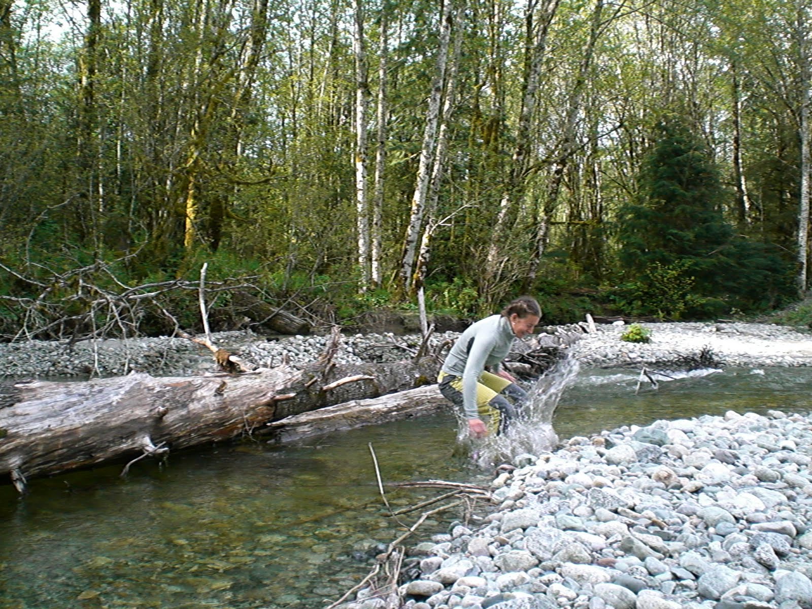
Our first challenge was crossing the Stawamus River:


I was not so successful:


Nature 1: Gretel 0

Our second crossing (at least no wet feet this time):


Here, on the second trail to the third peak. It is a series of half-developed steps formed out of roots and large rocks:


The view waiting for us on the third peak. Here, facing North-East:


The town of Squamish below:


The moment I realised I had a long, long way to go before being able to rockclimb with no fear of heights:


Looking South, the Howe Sound in the background:


I may look slightly stunned by the beautiful view, but aren't my Canada-socks fabulous! (Designed by Czech sock company called ELEVEN. Their socks are awesome for cycling and running, and they also do excellent triathlon and cycling gear):


The Howe Sound:

Descending via the first trail to the Second peak: