Sunday, February 5, 2012

Running Mt Stirling and Mt Buller

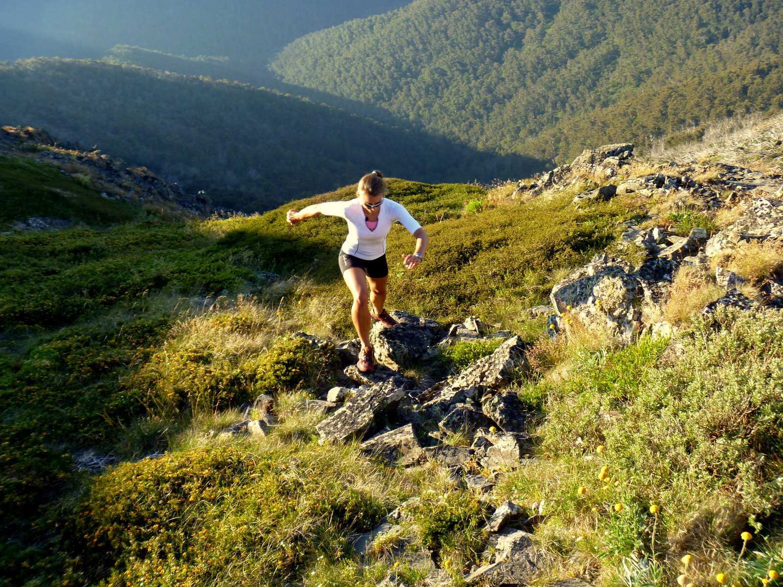
With a week off from work the first stop had to be the Victorian high country and the Mt Buller and Mt Stirling Alpine resorts. In Winter the resort is jam packed with Aussie skiers trying fit in as much time on the slopes as possible during the short lived snow season. Summer brings something new altogether. The two peaks are connected by amazing mountain bike and hiking trails, offering endless running possibilities and down time in a chilled out, near empty resort town. We spent our days running and biking, and then relaxing to a cup of coffee and 360 degree views of mountains disappearing beyond the horizon. 

We had marvelous weather and ended up staying longer than initially planned - it's just so damn beautiful . My first run was around Mt Stirling on the ~16km Summit Loop (see map of the trails here). The trail was initially a little overgrown, but soon connected on sections of fire trail and single track through beautiful snow gums and views out across the Australian Alps. It was great to run some bigger hills and then have the reward of a summit! The resort has  invested heavily in signage and free trail maps, so navigating is easy! The runs were also a good opportunity to test the comfort level of some new Salomon gear (Exo compression running shirts and shorts) - all I can say is that they are pretty damn awesome to run in. 

The start of the Summit Loop:

Emerging into the alpine and running amongst startling white Snow Gums:

Summer in the Australian Alps:

The summit of Mt Stirling (1749m):


Running across to Stanley's Bowl, Mt Stirling behind me:


The next run was on the Stonefly mountain bike trail starting at Howqua Gap. The trail is 6km of uphill (250m vertical ascent) on flowing single track taking you through Alpine Ash forests, across pristine stream  and into some pretty peaceful wilderness. The trail then loops around and heads back down for 4km. Because it is built for mountain biking it flows and allows runners to work on descending technique without too much fear factor involved. From there I connected on to trails to take me to the Mt Buller summit (1804m) to finish off a wonderful run.

Running up to the Mt Buller Summit:

Views out across the Australian Alps:


Evening sun across the summit:

Mountain layered upon mountain as the sun sinks:
Mt Buller ski slopes in summer:

Sunday, January 22, 2012

The 2012 Two Bays Trail Run

My first race for 2012 came around quickly, and took me to the town of Dromana on the Mornington Peninsula. The 56km Two Bays Trail Marathon would be a good opportunity to test where I was at in my fitness, and to get in a longer run pushed by a group of pretty awesome runners. In the womens field were some swift ladies, notably Kirstin Bull and Louise Sharp, the former part of the Australian team that raced at the Commonwealth Ultra Distance and Mountain Running championship in Wales. The challenge for me would be to run a fast, non-technical course that would force me to focus on speed and cadence, not my strengths!

The race was tough! I ran a fast 28km out to Cape Schank, most of the time in 3rd place until just before the turn around, at which point Louise Sharp passed me in fine form and looking solid. I remember thinking "this feels too good, it will catch up to me." The course itself included a mix of road, fire trail and single track (not too technical), allowing runners to really open up on the downhill. At certain points of the course beautiful views out to the water encouraged runners along.

During the second half of the race my pace slowed, I battled a few nasty stomach cramps (I think from using gels when I haven't trained with them) and had to rein in the negative wanderings of my mind to focus on my goals for this race. Before I knew it, 40km was done, then 50km (and a huge slog back up to Arthurs Seat) and then down to the finish line. I finished 7th female in 5:40. The race itself was fantastically organised: aid stations worthy of a heartfelt thanks, well signposted trails to help heat-befuddled runners, and volunteers who knew how to coax runners during their "why am I doing this to myself" meltdown.

Bushrangers Bay at 27km:


Powerhiking the last hill at the 50km mark:


The finish (obviously still something left in the tank):


Photographs thanks to: fstop5 Sports Photography

Thursday, December 1, 2011

An afternoon on Mt Oakleigh's summit

After a month of working on the Overland Track I finally got my chance. I had a fit group of guests with adventure in their hearts, and clear skies with no threat of mist, rain or snow.

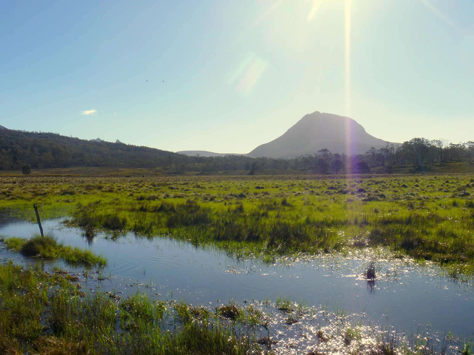
Across a golden expanse of button grass we could see the spires of Mt Oakleigh, our destination. Although not the tallest mountain in Tasmania, the views from the edge are spectacular. The world drops away into the Forth Valley, and all around are the slumbering giant shapes of familiar mountain peaks - Mt Pelion West, Mt Achilles, Mt Ossa and Mt Pelion East. The achievement of reaching the summit is also felt in every aching muscle that had to battle the crotch-deep mud puddles and steep climb through ancient rain forest. 

Climbing the last few steps to the edge of the mountain, peering over the edge and looking at the spires reaching out from the valley, I had only one thought: "wow, wow, wow."


Mt Pelion West, Mt Achilles and Mt Thetes (right to left):


View across Pelion plains towards Mt Ossa:

Sitting on the edge of the world:


The mountain glowing in the late afternoon light:

Our "trail" - a swampy gash through the button grass plains:


Stuck in the mud:


Mt Oakleigh is a day trip from Pelion Hut, located half way on the Overland Track. It is an 8km return trip, and takes an average walker about 5 hours. Consideration should be given to how much rain the track has received, as this can exacerbate the mud on the track.

Friday, November 11, 2011

The beast that is Mt Roland

Driving out toward the Cradle Mountain National Park, one cannot help but plaster the face against the car window and stare at the imposing, weathered face of Mount Roland and the Triple Tops range. The mountain range lies east of Sheffield (Tasmania), and area that strikes a startling resemblance to the gentle hills of England (think idyllic scenes of dairy farms, little lambs, fluoro green grass on acid, berry farms and small towns with historic pubs). 

My interest was piqued after reading about an 19.7km epic race across the tops of Mt Claude, Mt Vandyke and Mt Roland, a race blasting knee caps into oblivion with the final 1000m descent down Mt Roland.  I was lucky enough to be enjoying the company of a visiting friend from Canada: a BC Parks Ranger, sailor, ski mountaineer and sometimes-runner. Sightseeing with Ranger Mark would be the perfect excuse to go check out the gnarly ascent/descent up the side of Mt Roland!

The view from Claude Road towards Mt Roland:


We accessed the start of the trail from the end of Kings Road (off Claude Road):

The well-marked track up to the summit didn't mess around - it was straight to business and straight up. A lot of the uphill trail was not runable, but rather required bouldering, scrambling and power hiking:

Views start to appear towards the rolling "England-esque" green hills of Sheffield and beyond:


A flat section of running before more climbing. The trail here was very muddy, poorly drained and overgrown in some areas:

Open alpine running:

Sometimes trail running is NOT about running:


The views on the alpine plateau are pretty stunning:

Ranger Mark doing his thing (running):

Mount Roland summit (1234m):


Trail junction - from here you can continue across the tops of Mt Vandyke and Mt Claude towards Olivers Road:

More information on the Kentish Triple Tops Race here.


The top of the world (Mount Ossa Summit)

The day started with an hour trail run on the Overland Track (my office for the next 6 months), returning to see this sunrise (below).

One of the huts we stay in, glowing in the morning sun:


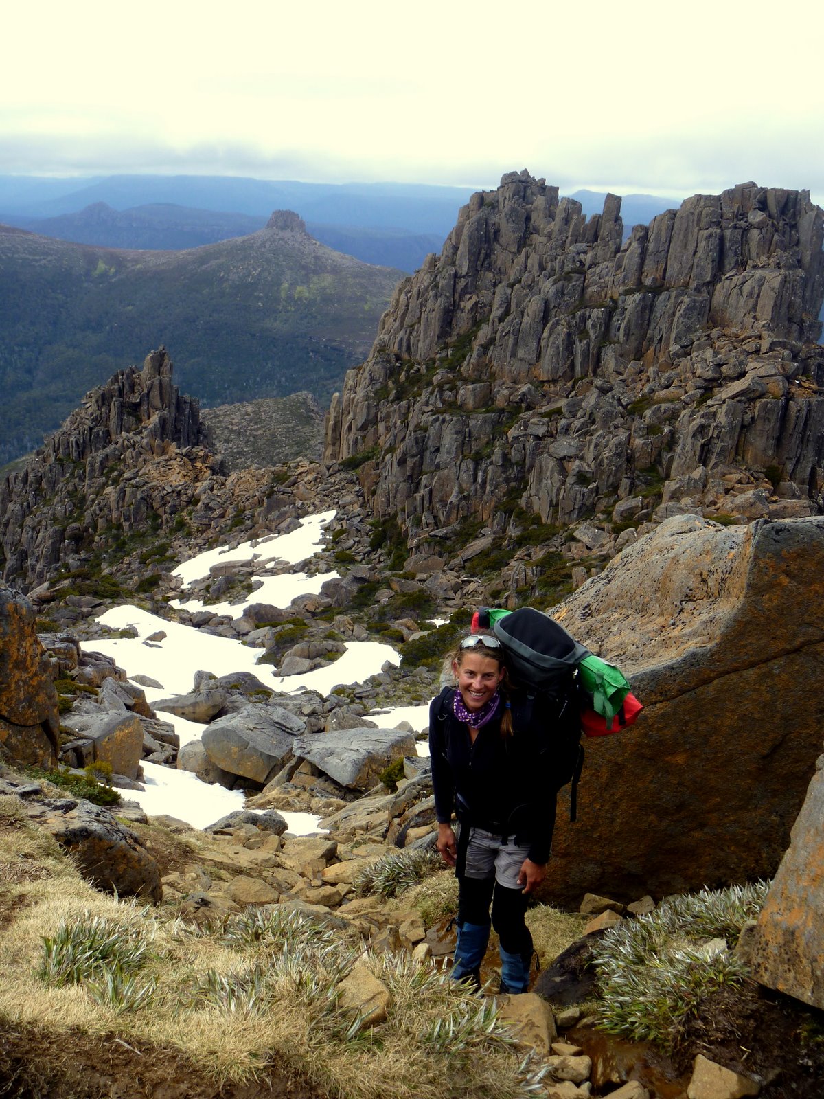
The plan for the rest of the day was to tackle the summit of Mount Ossa (1617m), the tallest peak in Tasmania (the world?), a jagged collection of dolerite collumns that resemble gnarly, ancient fingers reaching into the sky. I would be hiking up with 2 guests and a 20kg pack on my back - nice way to build up some leg strength and confound other hikers..."you know you can leave your pack at the bottom" weathered bushmen would tell me, shaking their heads at my unpracticality. "I'm carrying safety gear" I tell them.
The views from the top on a clear day are superb - 1/3 of the state lies before you, pure wilderness with nothing man-made in sight.


The view from the false summit towards Mount Pelion East:


Climbing mountains is fun, but hard work!


Looking down the Mount Ossa trail towards Mount Pelion East (affectionately called "The Nipple") and beyond:


Taking a break on the summit of Mount Ossa:

Looking south (across Pine Stone Valley) towards the Ducane Range:

As we arrive back in the valley the weather sets in and grey, ominous clouds gather around Mount Ossa's summit. A perfect finish to a day spent in the clouds on top of the world.
Posted by Picasa