Wednesday, April 18, 2012

Autumn Highlights


The last month has been busy. I have been adhering to a strict routine of pack-living: Organising my 75L trusted hiking pack for 2 weeks of work in Tasmania, flying/commuting, guiding, having a day off, churning through an endless mound of dirty laundry, desperately trying to dry out my boots, recharging and catching up on week-old emails and then guiding again. In between I am devouring anything fresh, green and crunchy to make up for a weeks worth of eating a carbohydrate-only diet on the trails (not so good for the immune system).

From Tasmania I flew to Melbourne and headed to the Victorian high country for a few days of running around Falls Creek. Although still living out of a pack, life slowed down, I was able to enjoy some beautiful running terrain around the Bogong High Plains, and to eat nutritious meal after meal (mostly hearty bean stews with quinoa or soba noodles). The area around Falls Creek is incredible training ground - great trails at higher elevation, mountain conditions and a good mix of both steep and flatter terrain. 

 Spion Kpoje Loop (35ish km)
This was a beautiful loop I started from the Rocky Valley Storage Dam. The trail was nice and clear, took in some beautiful alpine vegetation, had a gradual climb up onto the Spion ridge from where lovely undulating trail took me down almost all the way to Bogong village, where I took the Bogong Valley High Plains road back to Falls Creek resort. The weather was wild. Ferocious winds whipped at my clothing, mist narrowed the views right down to spooky gum skeletons and the trail in front of me. 
Recommended: at least 2L of water, all-weather gear (I had an awesome lightweight Salomon jacket), map or good sense of direction, and food. 

The storage dam at Falls Creek, the bank covered in skeleton trees:

Map of trails in the area:

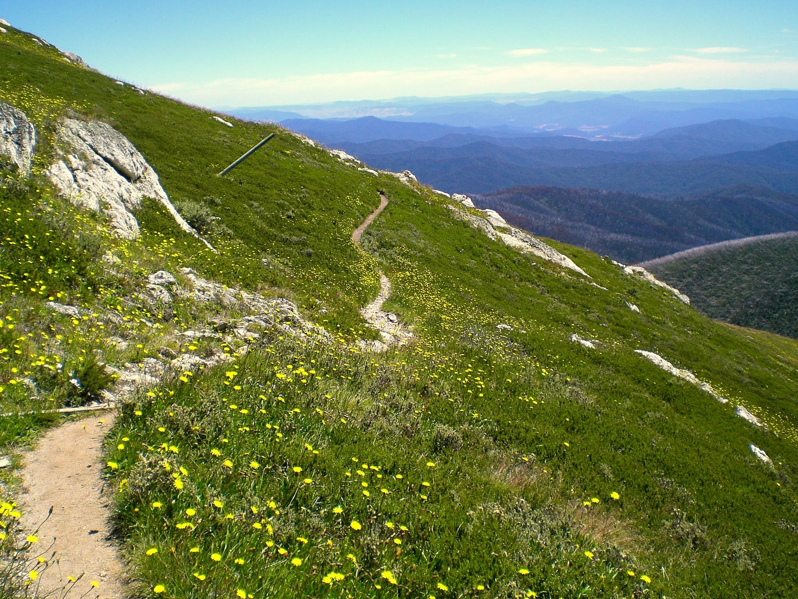
Bogong High Plains:


Fighting the wind and mist:

Spooky:

River crossing before hitting the Bogong Valley High Plains road:


Blue Mountains Training weekend
The following weekend I was fortunate enough to join an amazing group of friends for a solid session of running. The weekend was organised by Rob Costello, a speedy Irish fellow with a great repertoire of crazy insights that he brings out on the trails. We took over the Fairmont resort at Leura (the race HQ for the North Face 100km), bringing new meaning to the phrase "lycra in the lobby." It was amazing to be sleeping in a real bed, no sleeping bag, tent or back of a car in sight! The first run on Saturday took in 60km of the race course. We had a crew out to support us, meeting us with water, icy cokes and food at the half way point (So incredible to have this kind of encouragement on a training run). It was great to run with different people with different strengths, and to figure out what still needs fine-tuning before race day. Like anything in life, training is so essential to build confidence, to try new strategies, to make mistakes, and to evaluate strengths and weaknesses. After the run we had an awesome soak in the icy outdoor pool and the hot tub.
Day 2 we woke up early at 4am and went for run on the last 10km of the course. It always blows me away to be awake at this time, to run in the dark in a landscape shaped by shadows, and to watch the day emerging. I always have the thought: How many people are lucky enough to experience this time of the day, and through the powerful force of running. After our run we had a huge buffet breakfast, a little bit of downtime, and then back out on the course to run another 21km through the Jameison Valley and Kedumba Pass. I was loving the long, slow grind back up from the valley to the plateau above. 

Fairmont Resort:

Mist in the valley:


The crew:


Narrowneck Road:

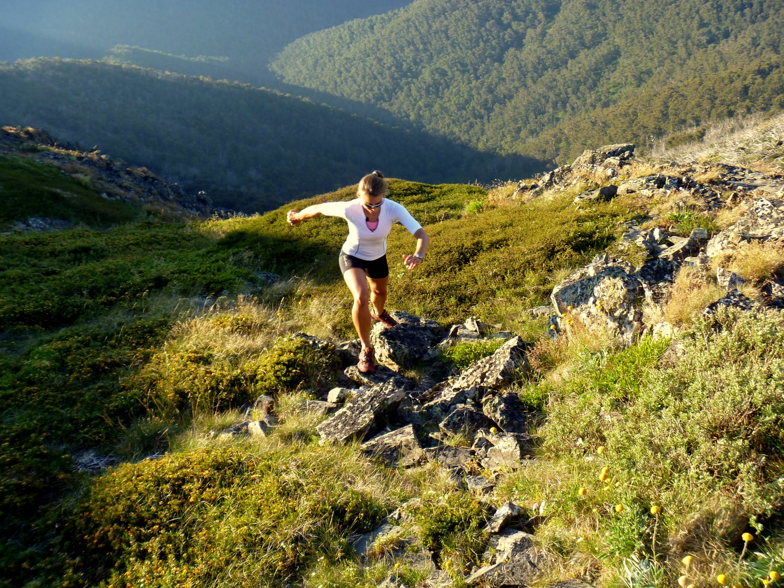
Day 2 - Jameison Valley (jumping for joy):

Wednesday, February 8, 2012

Running to the summit of Mt Bogong (1986m)

Continuing on with with our quest for mountain summits and epic views we found ourselves outside of the little town of Mt Beauty and at the Mountain Creek Picnic Area (a little camp area with an awesome creek for soaking legs in after the run!). We took the Staircase Spur Trail to the summit of Mt Bogong- an 8km calf burner with no mercy. The rewards come quick though and leaving the treeline for the alpine is a moment of bliss. From the summit other trails extend into the high country of Victoria, allowing for runners to run all the way to Mt Hotham if the fancy takes them. We spent a moment lingering on top, savoring the cooler air, the bright bursts of alpine flowers blooming, and the views. Oh, the views.

Emerging into the alpine:

Views back down the staircase spur trail:

Mt Bogong summit (1986m)


Arriving at the summit:


Time to descend:


Australian Alps in the summer:


Posted by Picasa

Sunday, February 5, 2012

Running Mt Stirling and Mt Buller

With a week off from work the first stop had to be the Victorian high country and the Mt Buller and Mt Stirling Alpine resorts. In Winter the resort is jam packed with Aussie skiers trying fit in as much time on the slopes as possible during the short lived snow season. Summer brings something new altogether. The two peaks are connected by amazing mountain bike and hiking trails, offering endless running possibilities and down time in a chilled out, near empty resort town. We spent our days running and biking, and then relaxing to a cup of coffee and 360 degree views of mountains disappearing beyond the horizon. 

We had marvelous weather and ended up staying longer than initially planned - it's just so damn beautiful . My first run was around Mt Stirling on the ~16km Summit Loop (see map of the trails here). The trail was initially a little overgrown, but soon connected on sections of fire trail and single track through beautiful snow gums and views out across the Australian Alps. It was great to run some bigger hills and then have the reward of a summit! The resort has  invested heavily in signage and free trail maps, so navigating is easy! The runs were also a good opportunity to test the comfort level of some new Salomon gear (Exo compression running shirts and shorts) - all I can say is that they are pretty damn awesome to run in. 

The start of the Summit Loop:

Emerging into the alpine and running amongst startling white Snow Gums:

Summer in the Australian Alps:

The summit of Mt Stirling (1749m):


Running across to Stanley's Bowl, Mt Stirling behind me:


The next run was on the Stonefly mountain bike trail starting at Howqua Gap. The trail is 6km of uphill (250m vertical ascent) on flowing single track taking you through Alpine Ash forests, across pristine stream  and into some pretty peaceful wilderness. The trail then loops around and heads back down for 4km. Because it is built for mountain biking it flows and allows runners to work on descending technique without too much fear factor involved. From there I connected on to trails to take me to the Mt Buller summit (1804m) to finish off a wonderful run.

Running up to the Mt Buller Summit:

Views out across the Australian Alps:


Evening sun across the summit:

Mountain layered upon mountain as the sun sinks:
Mt Buller ski slopes in summer:

Sunday, January 22, 2012

The 2012 Two Bays Trail Run

My first race for 2012 came around quickly, and took me to the town of Dromana on the Mornington Peninsula. The 56km Two Bays Trail Marathon would be a good opportunity to test where I was at in my fitness, and to get in a longer run pushed by a group of pretty awesome runners. In the womens field were some swift ladies, notably Kirstin Bull and Louise Sharp, the former part of the Australian team that raced at the Commonwealth Ultra Distance and Mountain Running championship in Wales. The challenge for me would be to run a fast, non-technical course that would force me to focus on speed and cadence, not my strengths!

The race was tough! I ran a fast 28km out to Cape Schank, most of the time in 3rd place until just before the turn around, at which point Louise Sharp passed me in fine form and looking solid. I remember thinking "this feels too good, it will catch up to me." The course itself included a mix of road, fire trail and single track (not too technical), allowing runners to really open up on the downhill. At certain points of the course beautiful views out to the water encouraged runners along.

During the second half of the race my pace slowed, I battled a few nasty stomach cramps (I think from using gels when I haven't trained with them) and had to rein in the negative wanderings of my mind to focus on my goals for this race. Before I knew it, 40km was done, then 50km (and a huge slog back up to Arthurs Seat) and then down to the finish line. I finished 7th female in 5:40. The race itself was fantastically organised: aid stations worthy of a heartfelt thanks, well signposted trails to help heat-befuddled runners, and volunteers who knew how to coax runners during their "why am I doing this to myself" meltdown.

Bushrangers Bay at 27km:


Powerhiking the last hill at the 50km mark:


The finish (obviously still something left in the tank):


Photographs thanks to: fstop5 Sports Photography

Thursday, December 1, 2011

An afternoon on Mt Oakleigh's summit

After a month of working on the Overland Track I finally got my chance. I had a fit group of guests with adventure in their hearts, and clear skies with no threat of mist, rain or snow.

Across a golden expanse of button grass we could see the spires of Mt Oakleigh, our destination. Although not the tallest mountain in Tasmania, the views from the edge are spectacular. The world drops away into the Forth Valley, and all around are the slumbering giant shapes of familiar mountain peaks - Mt Pelion West, Mt Achilles, Mt Ossa and Mt Pelion East. The achievement of reaching the summit is also felt in every aching muscle that had to battle the crotch-deep mud puddles and steep climb through ancient rain forest. 

Climbing the last few steps to the edge of the mountain, peering over the edge and looking at the spires reaching out from the valley, I had only one thought: "wow, wow, wow."


Mt Pelion West, Mt Achilles and Mt Thetes (right to left):


View across Pelion plains towards Mt Ossa:

Sitting on the edge of the world:


The mountain glowing in the late afternoon light:

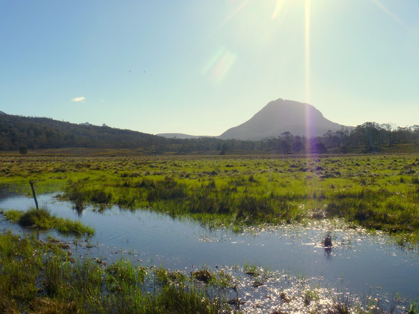
Our "trail" - a swampy gash through the button grass plains:


Stuck in the mud:


Mt Oakleigh is a day trip from Pelion Hut, located half way on the Overland Track. It is an 8km return trip, and takes an average walker about 5 hours. Consideration should be given to how much rain the track has received, as this can exacerbate the mud on the track.