Friday, November 11, 2011

The beast that is Mt Roland

Driving out toward the Cradle Mountain National Park, one cannot help but plaster the face against the car window and stare at the imposing, weathered face of Mount Roland and the Triple Tops range. The mountain range lies east of Sheffield (Tasmania), and area that strikes a startling resemblance to the gentle hills of England (think idyllic scenes of dairy farms, little lambs, fluoro green grass on acid, berry farms and small towns with historic pubs). 

My interest was piqued after reading about an 19.7km epic race across the tops of Mt Claude, Mt Vandyke and Mt Roland, a race blasting knee caps into oblivion with the final 1000m descent down Mt Roland.  I was lucky enough to be enjoying the company of a visiting friend from Canada: a BC Parks Ranger, sailor, ski mountaineer and sometimes-runner. Sightseeing with Ranger Mark would be the perfect excuse to go check out the gnarly ascent/descent up the side of Mt Roland!

The view from Claude Road towards Mt Roland:


We accessed the start of the trail from the end of Kings Road (off Claude Road):

The well-marked track up to the summit didn't mess around - it was straight to business and straight up. A lot of the uphill trail was not runable, but rather required bouldering, scrambling and power hiking:

Views start to appear towards the rolling "England-esque" green hills of Sheffield and beyond:


A flat section of running before more climbing. The trail here was very muddy, poorly drained and overgrown in some areas:

Open alpine running:

Sometimes trail running is NOT about running:


The views on the alpine plateau are pretty stunning:

Ranger Mark doing his thing (running):

Mount Roland summit (1234m):


Trail junction - from here you can continue across the tops of Mt Vandyke and Mt Claude towards Olivers Road:

More information on the Kentish Triple Tops Race here.


The top of the world (Mount Ossa Summit)

The day started with an hour trail run on the Overland Track (my office for the next 6 months), returning to see this sunrise (below).

One of the huts we stay in, glowing in the morning sun:


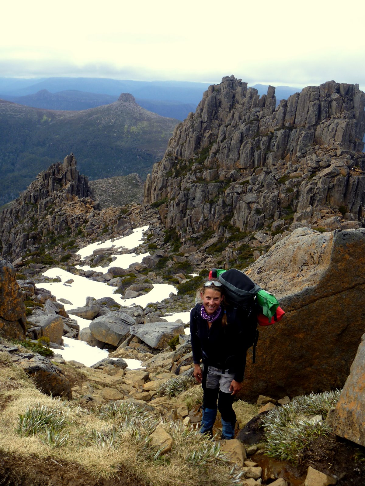
The plan for the rest of the day was to tackle the summit of Mount Ossa (1617m), the tallest peak in Tasmania (the world?), a jagged collection of dolerite collumns that resemble gnarly, ancient fingers reaching into the sky. I would be hiking up with 2 guests and a 20kg pack on my back - nice way to build up some leg strength and confound other hikers..."you know you can leave your pack at the bottom" weathered bushmen would tell me, shaking their heads at my unpracticality. "I'm carrying safety gear" I tell them.
The views from the top on a clear day are superb - 1/3 of the state lies before you, pure wilderness with nothing man-made in sight.


The view from the false summit towards Mount Pelion East:


Climbing mountains is fun, but hard work!


Looking down the Mount Ossa trail towards Mount Pelion East (affectionately called "The Nipple") and beyond:


Taking a break on the summit of Mount Ossa:

Looking south (across Pine Stone Valley) towards the Ducane Range:

As we arrive back in the valley the weather sets in and grey, ominous clouds gather around Mount Ossa's summit. A perfect finish to a day spent in the clouds on top of the world.
Posted by Picasa

Job Satisfaction on the Overland Track

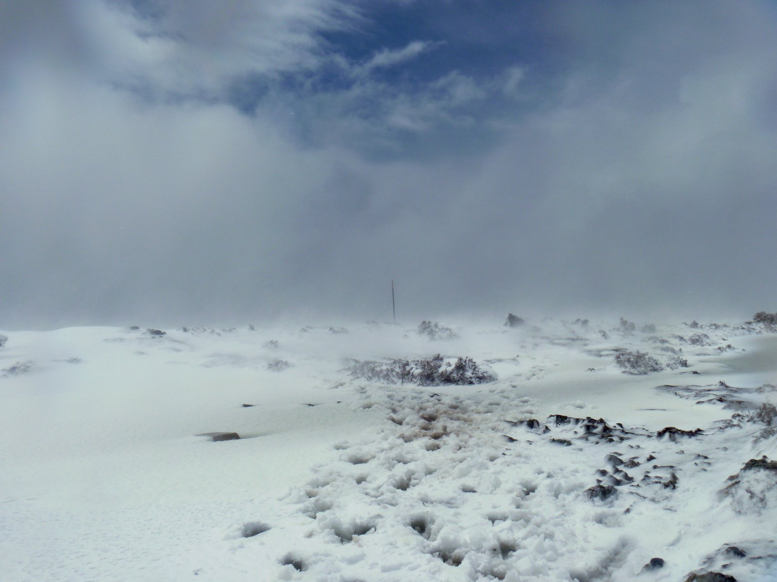
My first month working as a guide on the Overland Track (a trail running North-south through the Cradle Mountain-Lake St. Clair National Parks) has seen 12 different weather conditions: sunshine, cloud cover, fog, mist, rain, hail, sleet, blizzards, snow, howling winds, thunder storms, regular storms. In all of these conditions, I couldn't help smiling.

Coming from living on the west coast of Canada for 2 years, I was looking for wilderness, mountains and a training ground for running. Here in Tasmania, I think I have found it. A typical day involves waking up for a pre-work workout (thanks to my wonderful coach and friend Jen Segger), preparing breakfast for our guests, and then setting out on a 6 hour day of walking and exploring the beautiful nature of the park, climbing a mountain or two, swimming in sub-10 degree weather, building wonderful relationships with our guests, dinner and sleep (often outside under the brilliant southern stars).

Life, surrounded by so much untouched beauty, is uncomplicated!


Posted by Picasa

Sunday, October 23, 2011

Running the north side - a Blue Mountains adventure

The Blue Mountains has long been a haven for crazy climbers, wild canyoneers, and trail runners with mountain goat willpower. The distinctive plateaus that drop off into alluring canyons and gorges make for a playground tempting to any adventure seeker. I had run the trails to the south of Leura and Katoomba many times in preparation for The North Face 100km trail race, but knew little of what lay in the wilderness of the north side. Luckily, what are friends for, if not to take you on grand adventures that involve stunning views, good weather, and in my case, running rugged single track trails through the northern Blue Mountains? Thanks to my guide, local mountains resident Mick (and gun trail runner), I had an amazing 2 days of running and adventuring!

Day 1: 
Trail: Lockley Pylon Track and down into the Grose Valley to Blue Gum Forest
(Wild walks has awesome information on trail access here)
We ran this 8km trail as an out-and-back, starting from Mt Hay Rd and turning around in the Blue Gum Forest. It was challenging and offered great training on rolling terrain the transitioned into some steeper, steady climbs up out to Du Faur head and again out of the Grose Valley. Carrying sufficient water is a must, as the trail is open and exposed most of the way down into the valley.


Beautiful rolling terrain running across open plains with views across to the northern cliffs:


In the Grose Valley, Mick attempting to cross a small stream on a fallen Blue Gum:

Running through Blue Gum Forest:

Looking up to Du Faur Head (776m) where we will eventually climb to:

Day 2:
Trail: The Grand Canyon via the Cliff Top trail.
This is just an awesome circuit that left me feeling so inspired to keep running and exploring! The views are grand as you run on the Cliff Top Trail that follows the contours of the plateau, before you drop down and enter the Grand Canyon. Repairs have been done to the stairs winding down into lush rainforest, making for a fast, heart-stopping descent into a green paradise. Running through the canyon takes you up onto a winding trail that runs along the side of the cliffs, sometimes taking you through small waterfalls. The trail out of the canyon again challenges the legs and heart and makes for some solid training.

The views from the Cliff Top trail into the Grose Valley:


Running in the Grand Canyon:

Crossing a stream running through the canyon:

Looking up from the canyon at a crack of sky:

The trail running along the side of the canyon: