Showing posts with label Hiking. Show all posts

Thursday, August 15, 2013

Halfway to heaven on Mt Watzmann

The last day with my Transalpine partner, Gine, arrived and what better way to finish a perfect week than with another mountain crossing! 

Mt Watzmann is Germany's 3rd highest at 2713m, and has 3 peaks along a precariously narrow ridge which you cross with the assistance of ropes in some sections. 

We started at Wimbachbruecke (in the town of Rasmsau), heading up to the Watzmannhaus hut via a fairly well established walking track. From the hut things got steep, and we freestyled up rocky slopes to the first peak. 

Gine getting good use out of her poles heading up to the hut:

Watzmannhaus hut in the clouds:


Starting our last 800m of climbing up the steep rocky slope to the summit:


Relaxing on the highest peak of Watzmann:

From the highest peak we crossed the ridge to Middle Peak, and lastly to South Peak. The clouds helped to hide the steep drop on either side! Amazing amazing feeling up there!


The cross marking South Peak:


Finally a steep descent into a valley waited for us as we came down the other side of the mountain. The rocky scree slope made for lots of sliding until we hit a glacier moraine that we followed back to the car. 

Running down the rocky scree slope:


Wednesday, April 25, 2012

Dawn from the Traveler's Range, Tasmania

With winter making it's presence known in the Tasmanian mountains, the days getting colder and light more precious, my last day as a guide on the Overland Track arrived. The decision had been made the night before to climb up to the top of the Traveler's Range, a ridge of mountains presiding over deep valleys and unexplored wilderness. We woke at 4am, and glancing out the window for a weather forecast, I glimpsed open sky and a shooting star. Perfect conditions for a dawn hike up to the summit. 

We followed the track back up to Ducane Gap, our headtorches illuminating ancient rainforest. In the saddle between the Traveler's Range and the Ducane Range we found the barely-used trail that would lead us up. On the summit the wind was fierce, the cold as crisp as the light starting to emerge on the horizon. We nestled in amongst the large dolerite boulders and waited for the sun. 


L-R: The Acropolis and Mt Geryon:


Thanks to Ross Bird for the beautiful photography.

Wednesday, February 8, 2012

Running to the summit of Mt Bogong (1986m)

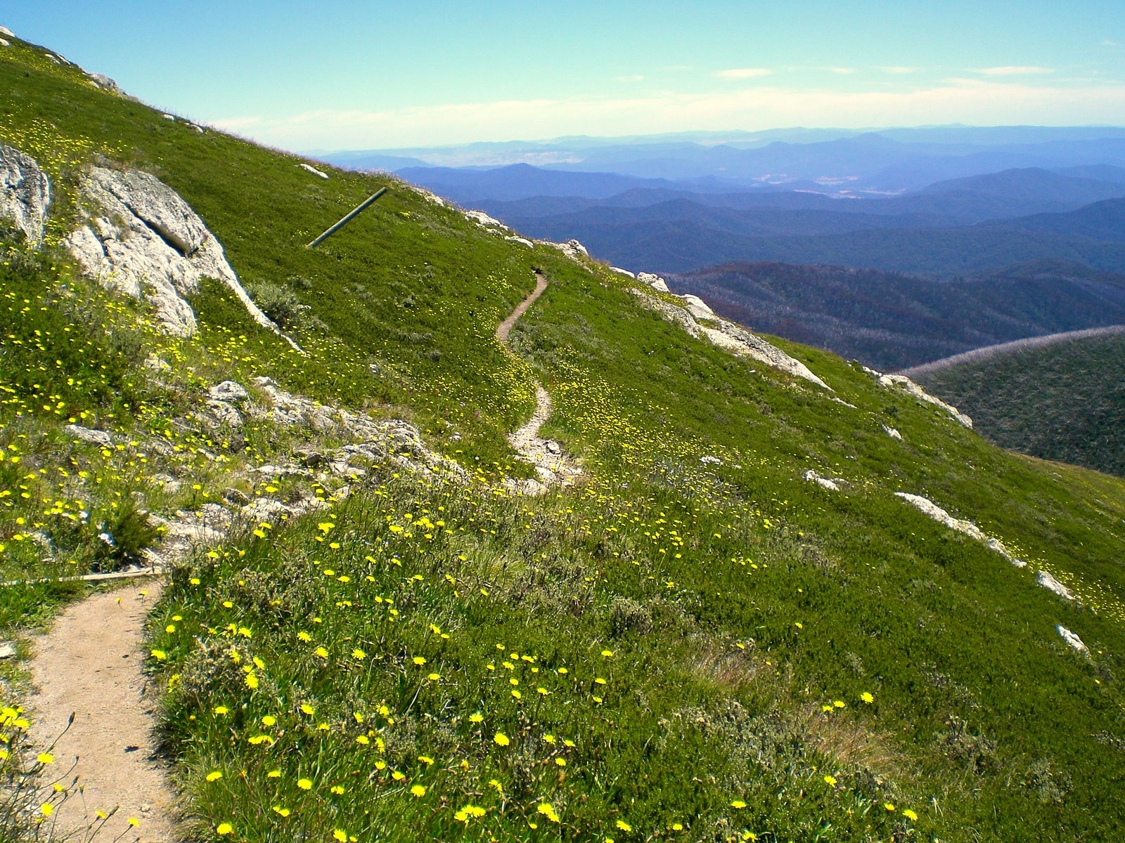
Continuing on with with our quest for mountain summits and epic views we found ourselves outside of the little town of Mt Beauty and at the Mountain Creek Picnic Area (a little camp area with an awesome creek for soaking legs in after the run!). We took the Staircase Spur Trail to the summit of Mt Bogong- an 8km calf burner with no mercy. The rewards come quick though and leaving the treeline for the alpine is a moment of bliss. From the summit other trails extend into the high country of Victoria, allowing for runners to run all the way to Mt Hotham if the fancy takes them. We spent a moment lingering on top, savoring the cooler air, the bright bursts of alpine flowers blooming, and the views. Oh, the views.

Emerging into the alpine:

Views back down the staircase spur trail:

Mt Bogong summit (1986m)


Arriving at the summit:


Time to descend:


Australian Alps in the summer:


Posted by Picasa

Thursday, December 1, 2011

An afternoon on Mt Oakleigh's summit

After a month of working on the Overland Track I finally got my chance. I had a fit group of guests with adventure in their hearts, and clear skies with no threat of mist, rain or snow.

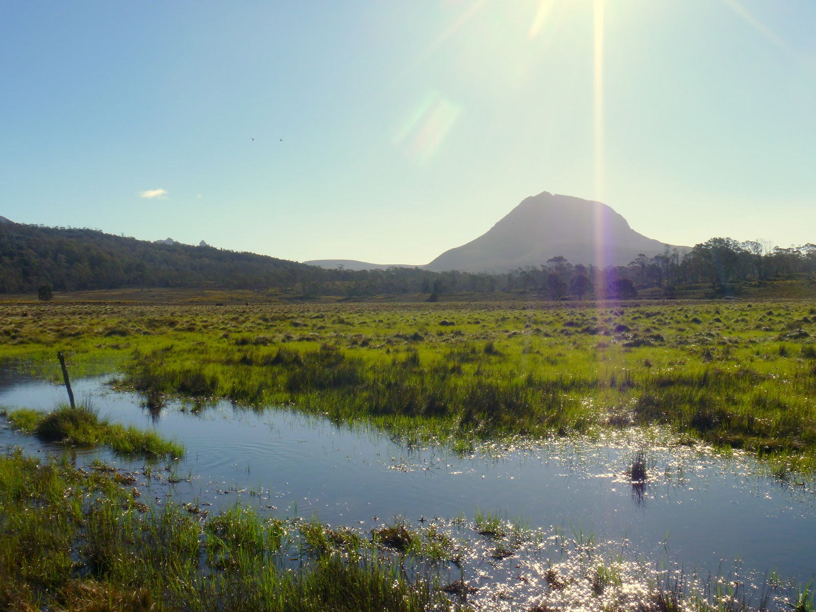
Across a golden expanse of button grass we could see the spires of Mt Oakleigh, our destination. Although not the tallest mountain in Tasmania, the views from the edge are spectacular. The world drops away into the Forth Valley, and all around are the slumbering giant shapes of familiar mountain peaks - Mt Pelion West, Mt Achilles, Mt Ossa and Mt Pelion East. The achievement of reaching the summit is also felt in every aching muscle that had to battle the crotch-deep mud puddles and steep climb through ancient rain forest. 

Climbing the last few steps to the edge of the mountain, peering over the edge and looking at the spires reaching out from the valley, I had only one thought: "wow, wow, wow."


Mt Pelion West, Mt Achilles and Mt Thetes (right to left):


View across Pelion plains towards Mt Ossa:

Sitting on the edge of the world:


The mountain glowing in the late afternoon light:

Our "trail" - a swampy gash through the button grass plains:


Stuck in the mud:


Mt Oakleigh is a day trip from Pelion Hut, located half way on the Overland Track. It is an 8km return trip, and takes an average walker about 5 hours. Consideration should be given to how much rain the track has received, as this can exacerbate the mud on the track.

Friday, November 11, 2011

The beast that is Mt Roland

Driving out toward the Cradle Mountain National Park, one cannot help but plaster the face against the car window and stare at the imposing, weathered face of Mount Roland and the Triple Tops range. The mountain range lies east of Sheffield (Tasmania), and area that strikes a startling resemblance to the gentle hills of England (think idyllic scenes of dairy farms, little lambs, fluoro green grass on acid, berry farms and small towns with historic pubs). 

My interest was piqued after reading about an 19.7km epic race across the tops of Mt Claude, Mt Vandyke and Mt Roland, a race blasting knee caps into oblivion with the final 1000m descent down Mt Roland.  I was lucky enough to be enjoying the company of a visiting friend from Canada: a BC Parks Ranger, sailor, ski mountaineer and sometimes-runner. Sightseeing with Ranger Mark would be the perfect excuse to go check out the gnarly ascent/descent up the side of Mt Roland!

The view from Claude Road towards Mt Roland:


We accessed the start of the trail from the end of Kings Road (off Claude Road):

The well-marked track up to the summit didn't mess around - it was straight to business and straight up. A lot of the uphill trail was not runable, but rather required bouldering, scrambling and power hiking:

Views start to appear towards the rolling "England-esque" green hills of Sheffield and beyond:


A flat section of running before more climbing. The trail here was very muddy, poorly drained and overgrown in some areas:

Open alpine running:

Sometimes trail running is NOT about running:


The views on the alpine plateau are pretty stunning:

Ranger Mark doing his thing (running):

Mount Roland summit (1234m):


Trail junction - from here you can continue across the tops of Mt Vandyke and Mt Claude towards Olivers Road:

More information on the Kentish Triple Tops Race here.