Spring in BC, Canada. Slightly warmer weather (think 5 degrees celcius), longer days, and the perfect opportunity to revisit Cloudburst Mountain and it's summit, previously unattainable in mid-winter.
Our "team" consisted of Jan, a Czech about to get kicked out of the country with a burning desire to see the fabled 360 degree view from the top; Werner, an Aussie that is always up for crazy adventures, and myself! Our day started in Paradise Valley, early in the morning to maximise the daylight we would have to climb 1871m,with snowshoes, through spring snow, up steep ridges, to the highest point of the mountain.
In the Valley the weather was not looking so great. I may have been a slightly "fair-weather" adventurer, urging the boys to wait for a better day, but at Jan's insistence, we started the steep climb up the FSR again.
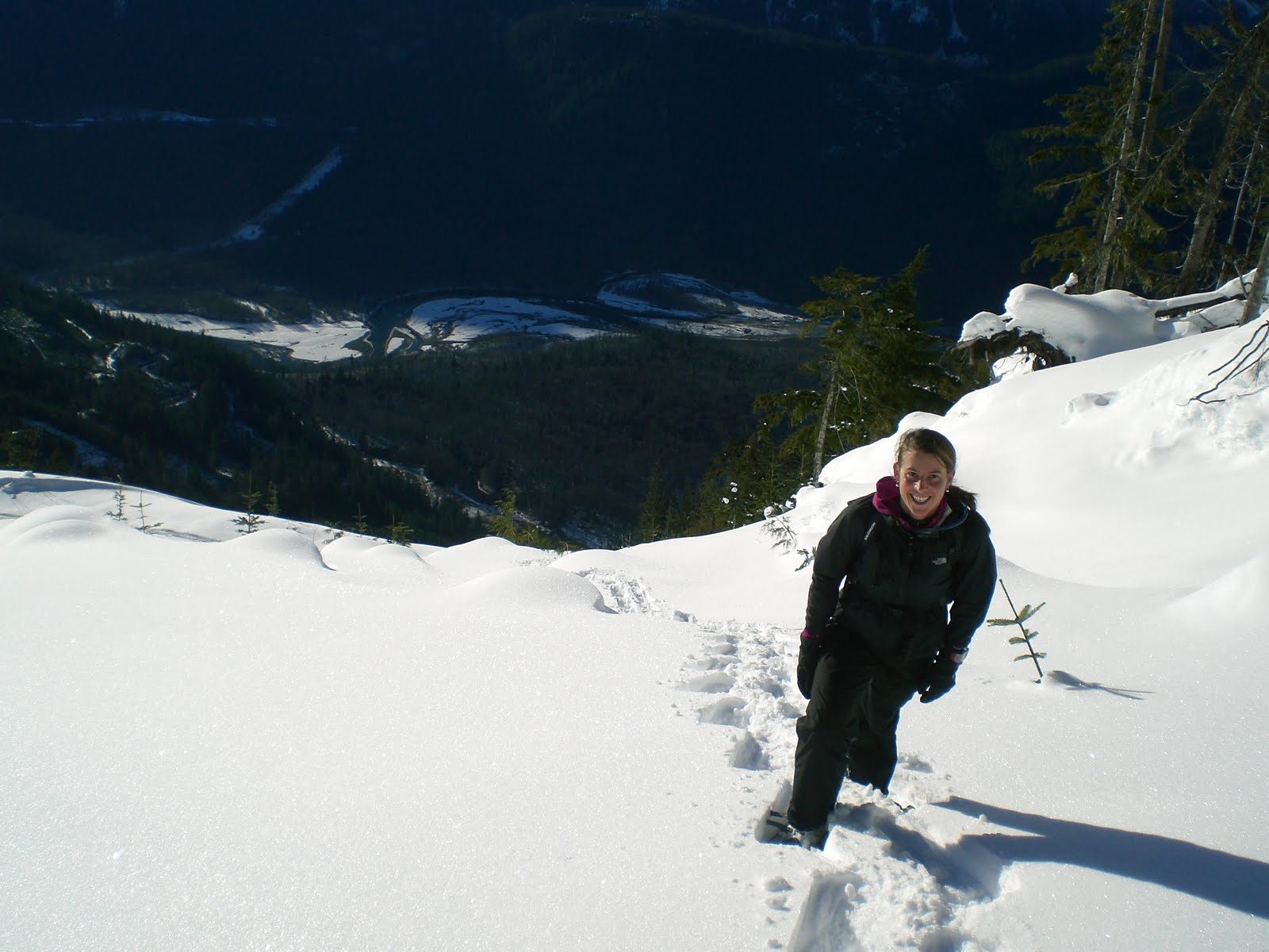
The snow line was noticeably higher than in the winter, and the snow quality was also wetter. We were thankful for the cooler conditions that day, as a sunny day might have increased the difficulty of snowshoeing up the steep sides of the mountain onto the ridge.
Every now and then, the clouds would be torn apart and suddenly we would have the most magnificent view down into Paradise valley and at the Tantalus mountain range.
A view of the ridge we would have to follow to the actual summit of Cloudburst (on the far right of the picture).
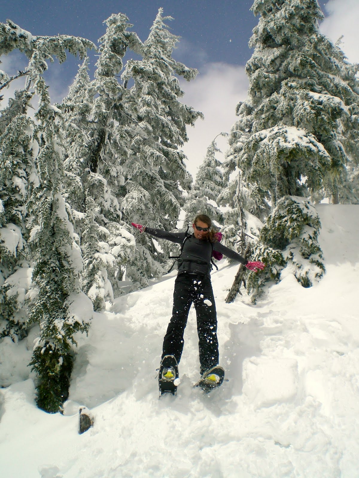
Freestyle snowshoeing in action:
Once on the ridge and in the alpine, the undualting ridge as seen from sea level became a series of domed, icy peak that became increasingly challenging (and at times scary) to climb with the snowshoes.
Myself approaching one of the icy peaks we would have to climb, freestyle, and with no ropes, safety gear, crampons or ice picks. The weather was also closing in as we got higher, decreasing our visibility of where the ridge ended. Not good!
At 1769m, 2 peaks away from the true summit, 11km into our adventure, we took this photo and called it quits. In Jan's words: "It's the professionals who know when to turn around and and go back." Maybe, but to go any further would have been risky: we could see nothing, and the last two climbs would be even more challenging and would present difficulties when the time would come to descend. Sometimes, turning around is a better option.
Finally! Time to eat! Recommended: wraps (kept separate while hiking) with tuna, mayonnaise, dill, tomato, mix (kept in zip-lock bag).
The reward at the end of another amazing adventure: a perfect view and some sun on the skin!